



Modern shipping operates in an increasingly complex environment where vessels must navigate busy shipping routes, challenging coastal waters, and constantly changing sea conditions. In this setting, accurate navigational information is essential for safe and efficient operations. ADMIRALTY Charts, produced by the UK Hydrographic Office (UKHO), are among the most trusted navigation tools used worldwide, providing mariners with reliable hydrographic data, hazard information, and routeing guidance to support informed decision-making and enhance safety at sea.
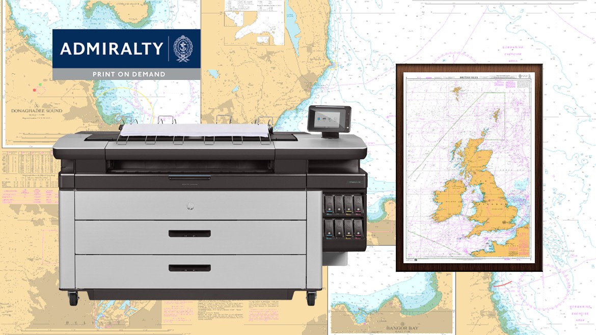
ADMIRALTY Charts are official nautical representations of sea areas designed to support safe maritime navigation. They combine hydrographic survey data with navigational intelligence, helping mariners accurately interpret both natural and man-made maritime conditions.
They typically include:
By consolidating this information into a standardised format, ADMIRALTY Charts serve as a universal reference point for bridge teams operating across international waters.
A core strength of ADMIRALTY Charts lies in their ability to present underwater geography and navigational hazards with exceptional accuracy.
Key risk elements clearly marked include:
This detailed hazard mapping allows vessels to maintain safe under-keel clearance and avoid operational risks, particularly in unfamiliar waters, narrow channels, and busy coastal regions.
Safe navigation begins long before a vessel leaves port. ADMIRALTY Charts provide the foundation for structured voyage planning by giving bridge teams reliable information for route selection and risk assessment.
They support:
This proactive approach helps minimise uncertainty and ensures safer voyage execution from departure to arrival.
Marine environments are constantly changing due to natural processes, infrastructure development, and shifting navigational conditions. To maintain accuracy, ADMIRALTY Charts are regularly updated through official Notices to Mariners issued by the UK Hydrographic Office.
These updates may include:
Regular updates ensure vessels operate with the most current navigational information available, helping maintain both safety and compliance.
As global maritime traffic continues to increase, organised routeing systems play a critical role in reducing collision risks. ADMIRALTY Charts incorporate internationally recognised traffic management frameworks that help regulate vessel movement.
These include:
By clearly presenting these structures, ADMIRALTY Charts help vessels follow established navigation patterns, improving situational awareness and reducing navigational conflicts.
Modern maritime operations depend on both digital and paper-based navigation solutions to maintain operational flexibility and compliance. While electronic navigation systems continue to evolve, paper charts remain an important component of many navigational procedures.
KDU World supports vessels with access to both ADMIRALTY Print on Demand (POD) Charts and ADMIRALTY Electronic Navigational Charts (ENCs), ensuring bridge teams have reliable navigation data in the format best suited to their operational requirements.
ADMIRALTY Print on Demand charts are printed only when ordered, ensuring that vessels receive the latest chart editions with all applicable corrections incorporated at the time of printing. Combined with ADMIRALTY ENCs that support ECDIS-based navigation, these solutions provide accurate, compliant, and up-to-date navigational information throughout every voyage.
KDU World supports this ecosystem by providing:
These solutions help fleet managers maintain consistent navigational standards across vessels while supporting fleet compliance requirements and operational readiness.
Safe navigation depends not only on accurate charts but also on compliance with international maritime regulations. Maritime operators must ensure navigational materials remain current and aligned with evolving standards.
For fleet operators, maintaining compliance across multiple vessels can be particularly challenging. Up-to-date ADMIRALTY Charts, publications, and navigational records play an important role in fleet compliance by helping ensure every vessel operates with current navigational information and remains prepared for inspections, audits, and regulatory reviews.
KDU World supports compliance by providing:
This helps vessels remain aligned with applicable international maritime frameworks while supporting safe operational practices.
Effective maritime operations require dependable access to navigation products and supporting resources. Our distribution network supports a broad inventory designed to meet the needs of both commercial and leisure vessels.
Available solutions include:
This broad product availability helps ensure navigational readiness across diverse maritime sectors.
ADMIRALTY Charts remain a cornerstone of navigational safety by providing accurate hydrographic intelligence, standardised visualisation, and continuous updates. Their value extends beyond chart production, relying on effective distribution, timely updates, and professional support to ensure information remains operationally relevant.
Through UKHO Print on Demand charts, Electronic Navigational Charts, hydrographic publications, and compliance-focused services, KDU World helps bridge the gap between chart production and real-world maritime operations. This ensures navigational data is not only accurate but also accessible, maintained, and ready to support safe decision-making at sea.
Because at sea, every decision matters, and the right charts can make all the difference.